More Jewels from the Vault

Explanation:
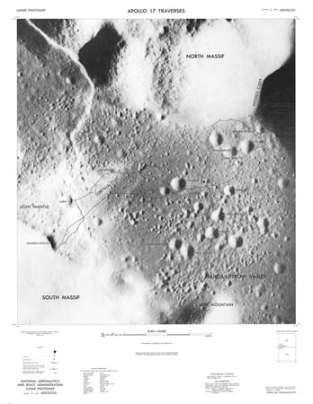
Over the last few years the Lunar & Planetary Institute in Houston has performed an invaluable service for professional and amateur lunar scientists by placing online digitized versions of long unavailable maps and images. Now they have dug into NASAs vaults and digitized more seldom-seen maps and documents. The image above is an example - its a much reduced version of the Apollo 17 Traverse Map that shows the path of the astronauts as they wandered through the Taurus Littrow valley. LPI includes three different resoltions, up to 150 dpi. At the LPI Lunar Map Catalog, which already includes LACs, LMs and LTOs, there are now the following new additions:
Lunar Topographic Maps (from 1964 - I had never seen these)
Lunar Shaded Relief Maps (greatly improved shaded relief drawings)
Posters from Lunar Science Conferences
and the Lunar Photomaps (Traverse Maps)
Check out all of these treasures!
